A Semi-Tractor powering up at 6 a.m. was my alarm clock this morning in the parking lot of the Thermopolis Exxon Southside Travel Center. With the exception of a brief 3 a.m. trip to the bathroom I slept through the night. A rarity these days. I thanked the morning cashier who gave me a breakfast recommendation a few minutes farther into town. The Black Bear Cafe (not part of the chain) served up a great southwest omelet, covered liberally with green pork chili.

As I left the cafe and walked toward my rig I surprised another early rising visitor. A mule deer sporting antlers in velvet. He assessed that I was not a threat and continued calmly on his way between the buildings of downtown Thermopolis.

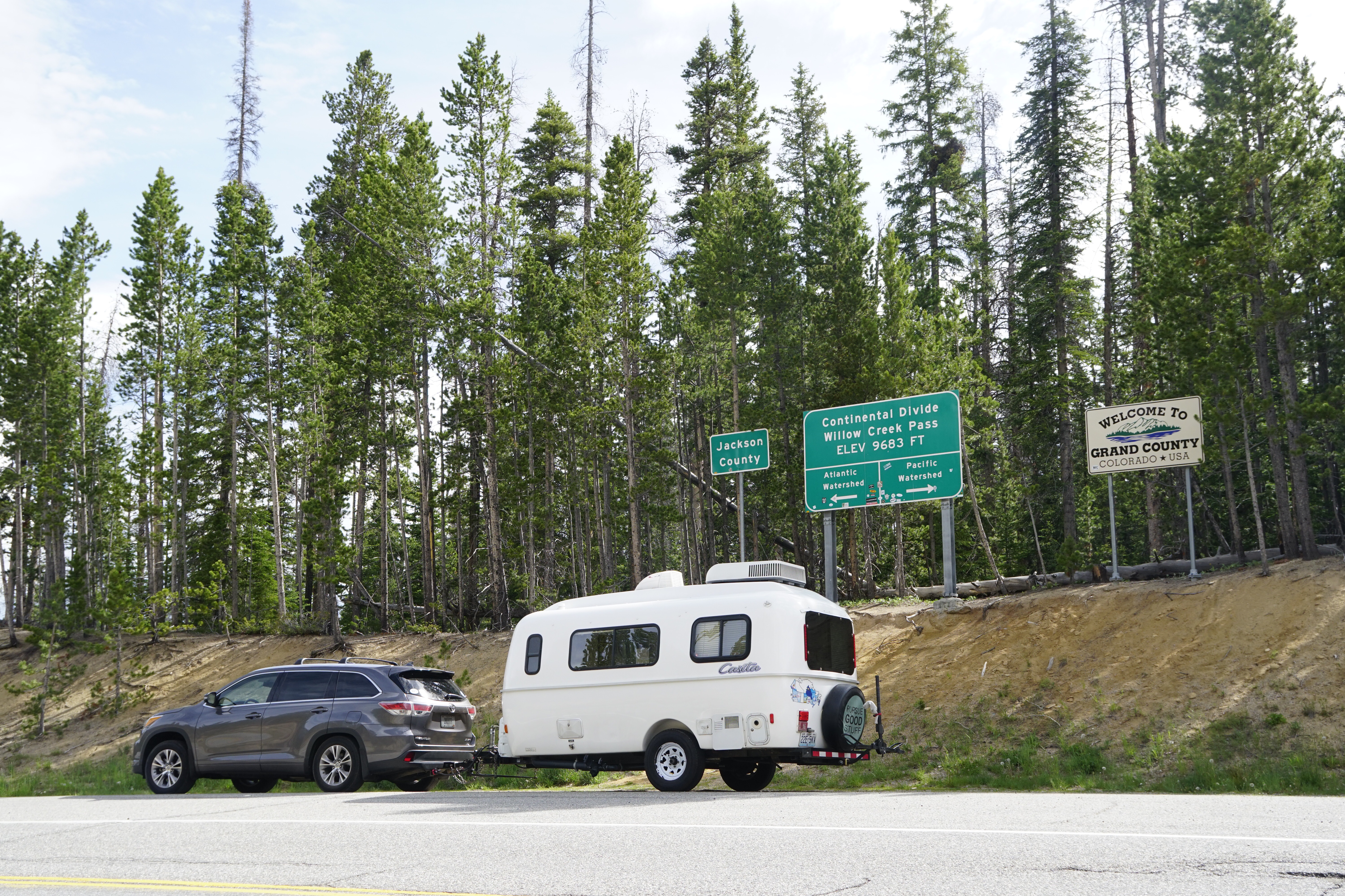
I on the other hand had 160 miles of winding and steep road ahead of me. My auto GPS said it should have taken 3 hours. Frequent photo stops added nearly 2 hours to that.

The unfolding panoramas presented brilliant upward thrusts of rock and snow topped peaks that seemed to split the earth.

Miles of two lane road spread before me like a spool of ribbon unrolling into the distance.

The road would lift its face to the sky and just as suddenly cast eyes into a deep valley with the sign of caution to use a lower gear. Towing a trailer gave me pause to take the warnings to heart.

Overlooks provided opportunities to not only appreciate the surrounding wonders, but to see the tread-like apparition of the road that I would be traveling miles in the distance.

I reached the Beartooth Highway in due course.

Christine and I drove the Beartooth during one of our first post-retirement trips. We checked out a number of the Forest Service campgrounds and the “Top of the World Resort”, a one gas pump, four room motel that is anchored by a log cabin “store” that features a humble assortment of souvenirs. It advertises groceries, but that really means a few shelves of candy bars, chips, and booze. The gas is nearly a buck a gallon more than it is 70 miles down in Cody, however Top of the World is the only game in town for at least 30 miles. I topped up my tank with out complaint.

This is bear country and signs abound with such warnings as “BE BEAR AWARE!”. When we were here before a couple of the campgrounds were closed to tents because of problems with bears. To my knowledge that proscription is not currently in place.

My first choice campground turned out to still be closed due to the late snows and lingering winter-like conditions. Apparently, Beartooth Pass was closed less than 2 weeks ago by a late June snowstorm.

I am camped at 9,000 feet above sea level in the Beartooth Lake Campground. It features 21 sites, pit pots, picnic tables, fire pits, and stunning scenery. It lacks drinking water, electricity, and cell service. I am one of just a few campers. The cost is $15 a night, but with my “America the Beautiful Pass” (aka the “Geezer Pass”) there is a 50% discount. I have paid for 4 nights, $30.. a bargain and the lifetime pass only cost me $10. It has paid for itself scores of times over. To be eligible for the pass one must be at least 62. Since Christine and I bought ours (each person should get one as they are not transferable between spouses) the cost has gone up to $80… still a bargain.

As I said, I am without cell service. Not having the benefit of my electronic encyclopedia is like losing half of my brain. Moreover, I miss being able to just call Christine on a whim to share such minutiae as, “Hey! A mule deer just walked through my campsite… Way Cool!”

Well, one actually did.

Temps are falling faster than the sun and it just will get into the low 30’s tonight. Tomorrow I’m planning a bit of a driving tour of the Beartooth without the handicap of having a trailer in tow. Hopefully I will find an opportunity to post this.

Peace Everyone. Pete

PS. It occurs to me that a person who habitually talks to himself or to people who aren’t actually there is either “mentally ill” or a Blogger. Bloggers just do it in writing.

I made camp at 9,000 feet above sea level on the Beartooth highway. It’s 48° at 2 PM and I have intermittent sleet and perhaps a threat of snow this evening. There is no water and no electricity, but there are pit toilets so things are a bit rugged. There are bear warnings everywhere. I plan to be here for four nights. I have the barest of cell signals about 3 miles from camp. Enough to text, but not much else. All is good on my end and any posts that I write and pictures that I take will hopefully be uploaded this weekend. The view is spectacular.

Bye for now and Peace, Pete

I was up early, made breakfast, broke camp, and was on the road by 8:30 this morning. With a slight press to make my scheduled arrival in Idaho I decided to make this a driving day.

By 8 pm this evening I had put 400 miles behind me. That may not sound like much, but the siren song of remarkable non-stop scenery imposed frequent camera stops.

Tonight’s challenge is to pick the best pictures from a portfolio of great shots.

On the route I passed through Walden Colorado and proceeded the 51 miles north to Riverside Wyoming.

This remote stretch of two lane state highway is a popular byway for bicyclists traveling cross-country. I and 15 companions did so on July 3, 2010 as we worked our way south from Cape Flattery Washington to Key West Florida. The drive today was full of memories which included the cabin I shared with Christine in Riverside, and the Antler Inn Hotel where we stayed at in Walden.

As I left Colorado and entered Wyoming I saw cyclists in the distance.

I waited for their arrival at the State Line and then offered to take their picture. Somewhere in my 2010 archive of shots there is one of Christine and me at that very spot… I FOUND IT! (The miracle of “cloud storage”!)

I had thought to stop at a State Park for the night. North of Riverton Wyoming is Boysen State Park near the Wind River Canyon. I stopped long enough to assess that $35.00 would buy me a parking spot, cynically called a campsite, pit-pots, and nothing more. To be fair the scenery was grand but 40+ mph winds blowing off the Boysen Reservoir guaranteed I would not be out to appreciate the view. I passed on the State Park.

I then spent the next 45 minutes winding through the sheer cliff walls of the Wind River Canyon. I regret that I couldn’t stop to take some shots until I came to the north end of the Canyon.

Seven miles later I stopped at the Southside Exxon Travel Center in Thermopolis. Christine and I learned early in our retirement that when the goal is to make miles it doesn’t make sense to pay $30+ for a campsite when many truck stops feature showers, laundries, and other amenities intended for over-the-road truckers, but just as available for RVer’s. I filled the gas tank and bought my first real shower since Denver for the princely sum of $8.00. They provide towel, washcloth, soap, and shampoo. Overnight parking is free, and there is even free WiFi. The scenery isn’t much, but there is indeed something to be said for gas station camping.

Tomorrow I should make it to Red Lodge Montana and the Bear Tooth Highway.

Peace Everyone. Pete

PS: More pictures follow below.

The ultimate destination of this trip has alway been the Coeur d’Alene bicycle trail that stretches the width of northern Idaho, from Plummer Idaho in the West to Mullen Idaho in the east.

73 miles of asphalt that is dedicated to bicyclists and pedestrians. It winds through the Bitterroot Mountains and is the former route of the “Olympian Hiawatha”, a legendary 1st class rail connection founded by the Chicago, Milwaukee, St. Paul and Pacific Railroad (aka “The Milwaukee Road”).

This star of America’s rails to trails boom was featured years ago in National Geographic. I bookmarked this in my mind as a thing to do “someday”. Someday almost passed me by today. My plan had been to camp at an Idaho State Park near Plummer, leave the trailer and ride my bike to Wallace ID, near the trails end. I was going to secure a motel, and the following day add another 30+ miles by riding into Montana on the Route of the Hiawatha trail, passing through old railroad tunnels and over high trestles. Included would be the 1.66 mile long Taft Tunnel before returning to the motel in Wallace. On day three I planned to bicycle back to Plummer and my camp.

A call to the State Park brought shocking news… no suitable vacancies, period! I shifted into problem solving mode. There were no other options at the west end of the trail, so turning to the east end I found a small private RV park located in Wallace. Jackpot! They had ONE vacancy that suited my needs. What’s more, the park is located 200 feet off the bike trail and next door to a craft brew-pub. The original plan will require some alterations, but the core of my intentions now remains intact. I dodged a “bullet”, but in the process was forced to abandon flexibility and set a date certain for my ride on the trails.

Today I broke my new touring bicycle out for a spin. A 20 mile round trip from Winter Park Resort to beyond Frazier.

I would have continued to Tabernash but dark clouds and drizzle turned me back. My new bike is a Surly “Long-Haul-Trucker”. It is not a replacement for my much lighter custom built titanium “Seven”, but is better suited for the kind of riding I wish to pursue while traveling.

The ride proved the wisdom of this bicycle choice, and with a little fine tuning it should be perfect on the Coeur d’Alene and Route of the Hiawatha.

This is my last night in the Robbers Roost US Forest Service campground. I treated myself to a “real” breakfast this morning, a sausage, Anaheim pepper and cheese omelet. This evening I added to the culinary celebration with a Dutch Oven pizza, drawing from an unusual assortment of available ingredients: Salmon, mushrooms, Hatch chilis, chipotle cheddar cheese, and a liberal topping of Cholula hot sauce. Oh yes, there was also a salad.

As I monitored my Dutch Oven, cooking time synchronized with two beers, a very unusual rig pulled into the campground.

The owners are Denny and his wife from Texas. He is a grizzled looking Vietnam War Army veteran. The couple had been avid motorcycle travelers, but the gradual age-related loss of his balance drove Denny to his Polaris manufactured “Slingshot” tricycle. It’s powered by a 200hp 4-cylinder Chevy engine. A custom option exists to drop in a small-block Corvette V8… bet that would shame some $200,000 4 wheel exotics. Denny is exploring teardrop trailer options to pull behind his trike.

In the morning I head north into Wyoming. I have been fortunate to have good cell service these last few days. No guarantees going forward. In the meantime…

Peace Everyone. Pete

It was a good day for a hike. Breakfast eaten, dishes done, and camp made “ship shape” I drove to the Second Creek trailhead.

With my camera, Camelback (water), and trekking poles I began my ascent. 10,600 feet to about 11,600 feet. For a local this would not qualify as much of a climb. As a non-acclimated flatlander I found this to be challenging enough. Snow banks became plentiful as I reached and then continued above tree line.

The sapphire blue sky was pierced by a full sun that baked the skin and pained the eyes.

Step into a shadow and the temperature seemed to plummet. Amidst the trees, sweatshirt on… in the open, sweatshirt off.

The vistas did not disappoint and my 3 hours spent hiking provided ample opportunity for pictures and thoughtful rumination.

There are populations that make their homes above 12,000 feet, principally in the South American Andes Mountains and the Asian highlands of Tibet. However, over one-third of the world’s population lives less than 300 feet above sea-level. Far less than 1 percent live above 10,000 feet. This is the study of hypsographic demography.

As I periodically stopped to catch my breath I began to consider how quickly the air thins as elevation increases. Humans are not well designed to flourish above the clouds… there is a reason that the salinity of our blood closely matches the salinity of the oceans. We are physically happiest at the altitude of the seas from whence we emerged eons ago.

So here I am loving the mountains, the dry air, the smell of pine, the big brown bear that wandered through my campsite… yet I will never achieve the full aerobic capacity that I enjoy at 900 feet back in Kansas City.

The world is approximately 8,000 miles in diameter. Depending on the scientific discipline, the Earth’s atmosphere may be deemed to extend upwards to about 60 miles. Of course no human can survive at that altitude. Mount Everest (29,029 feet) is the highest point on Earth, not even 4 miles in elevation, and yet the fittest human can only briefly survive at that extreme.

Our inclination to be species-centric burdens us with the illusion that we are masters of vast (near endless?) realms and inexhaustible resources. However, if the Earth were reduced to the size of a 3 foot diameter ball, then the corresponding atmospheric equivalent of 10,560 feet (2 miles) above sea-level would be 9 thousandths of an inch (0.009”)! To put that into perspective, that is roughly the thickness of two pieces of ordinary copy paper.

The reality is that we are fragile creatures living within an incredibly thin envelope of breathable air. Borrowing upon an ancient proverb, “It’s an ill bird that fouls its own nest”… or perhaps more to the point, it is an ill fated humanity that chooses to break the wind that it breaths.

Peace Everyone.